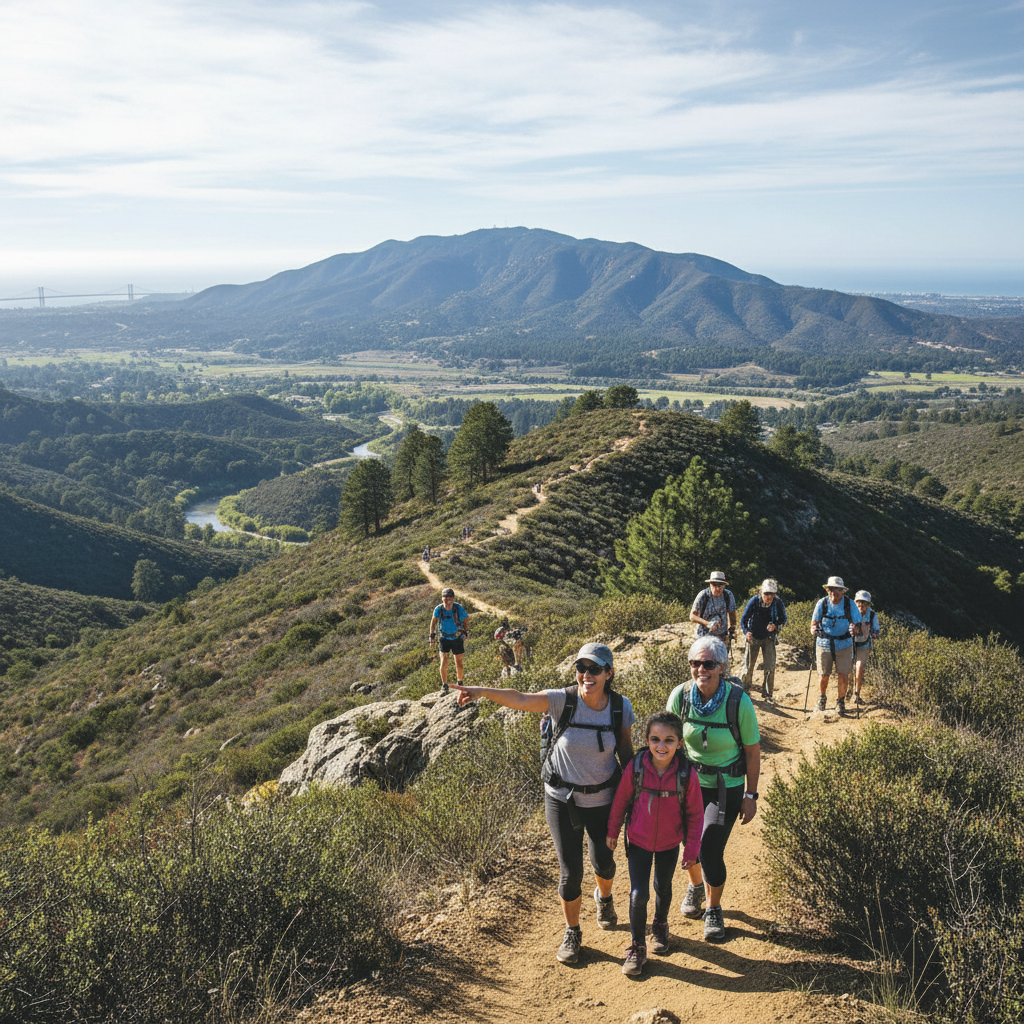
San Diego sells itself on surf, tacos and sunsets, but the city’s other superpower is how quickly you can trade traffic for trail. Within an hour of downtown you can be climbing chaparral peaks, threading through a kid-friendly slot canyon, walking shaded creek corridors, or watching the sun come up over Anza-Borrego’s desert floor.
This guide is built for locals and visitors who want clear, practical hiking options, not just pretty photos. Below you’ll find 15 go-to routes, grouped by the kinds of searches people actually make, from “easy hikes near San Diego” to “waterfall hikes” and “hardest hikes.” For each trail we note what it feels like on the ground, key features, and the basics you need to plan, including approximate mileage, difficulty and where to start.
Before you go, check current conditions and closures. For coastal cliffs and tide-sensitive spots, plan around the ocean. For the backcountry, heat can turn a moderate outing into a dangerous one. San Diego County’s own trail guidance, weather alerts and park updates are a smart starting point, particularly during fire season. (See the County’s parks site: sdparks.org.)
Best easy hikes near San Diego for families and visitors
If you’re travelling with kids, recovering from an injury, or simply want views without a big climb, these are the dependable picks. Expect more people on weekends, especially at the coast.
1) Seven Bridge Walk (Balboa Park neighbourhood loop)
Difficulty: Easy, urban walk, some road sections. Distance: about 5.7 miles (9.2 km) loop.
Why locals love it: It’s a surprisingly scenic neighbourhood sampler with canyons, mature trees, historic bridges and easy add-ons in Balboa Park.
Start: near the San Diego Natural History Museum, 1788 El Prado, San Diego, CA 92101.
Cost and hours: Free, public streets and park paths, daylight hours recommended.
Tip: Go counterclockwise for a smoother flow and better viewpoints, and use lights if you’re out early or near dusk. Trail info: AllTrails listing.
2) Batiquitos Lagoon Trail (Carlsbad)
Difficulty: Easy. Distance: about 3.2 miles (5.1 km) out-and-back (varies by turnaround).
Features: Flat dirt path, birdwatching, lagoon views, family and stroller friendly in dry conditions.
Start: Nature Center parking area, 7380 Gabbiano Ln, Carlsbad, CA 92011.
Cost and hours: Free. Nature Center hours vary seasonally, trail generally open daylight hours.
Tip: Bring binoculars and go after a winter rain for peak bird activity.
3) Los Peñasquitos Canyon Preserve (Creek Trail and waterfall spur)
Difficulty: Easy to moderate depending on side trips. Distance: choose-your-own, popular is 6 to 8 miles (9.7 to 12.9 km) round-trip if you go to the waterfall area.
Features: Wide multi-use trail, seasonal cascades, shade in sections, great for new hikers.
Start: One convenient access is near the main staging area at 12500 N Torrey Pines Rd, San Diego, CA 92130 (check your preferred entry).
Cost and hours: Free, daylight hours.
Tip: After wet winters the falls are best, in dry years it’s more of a creek walk than a waterfall hike.
4) Annie’s Canyon Trail (Solana Beach slot canyon)
Difficulty: Easy to moderate, narrow sections and a ladder exit. Distance: about 2.3 miles (3.7 km) round-trip.
Features: Mini slot canyon, quick payoff, fun for kids who like “adventure” without distance.
Location: Solana Beach, with multiple trailheads, common access is via the Solana Hills Trail neighbourhood area.
Cost and hours: Free, open daylight hours.
Tip: Go at off-peak times. The slot canyon is narrow, and bottlenecks form at the ladder. Background stats from a local roundup: Lust for the World.
Best coastal hikes in San Diego for ocean views
For visitors, these are the “this is California” hikes. For locals, they are the reset button after a long week. Coastal routes can have slick sandstone, cliff edges and surprise surf conditions, so stay back from unstable bluffs and watch kids closely.
5) Torrey Pines State Natural Reserve (Beach Trail Loop and extensions)
Difficulty: Easy to moderate. Distance: flexible, common loops run 2 to 4 miles (3.2 to 6.4 km).
Features: Iconic sandstone cliffs, rare Torrey pines, beach finish options, multiple trail choices.
Start: Visitor Centre area, 12600 N Torrey Pines Rd, La Jolla, CA 92037.
Cost and hours: Park is typically open daily 7 a.m. to sunset. Vehicle day-use fees often run about $10 to $25 depending on lot and season (check current).
Tip: If lots are full, look for legal street parking on N Torrey Pines Rd and walk in. More park details: torreypines.org.
6) Sunset Cliffs Natural Park (Point Loma)
Difficulty: Easy. Distance: 1 to 3 miles (1.6 to 4.8 km) out-and-back, choose your turnaround.
Features: Classic sunset lookout, tide pools in the right conditions, dramatic sea caves and bluffs.
Start: 1253 Sunset Cliffs Blvd, San Diego, CA 92107 (parking lots and street pullouts along the boulevard).
Cost and hours: Free, open 24 hours, best at daylight and sunset.
Tip: Stay off fenced-off areas, cliff erosion is real, and rescues happen here every year.
7) Ho Chi Minh Trail, also called Saigon Trail (La Jolla)
Difficulty: Moderate to strenuous in a very short distance, includes steep, sandy, technical bits. Distance: about 0.6 miles (1 km) round-trip, but it’s not a casual stroll.
Features: Rope-assisted descent to a beach, narrow trail, coastal drama in miniature.
Start: Near La Jolla Farms area, with access points used by locals (follow posted signs and stay on legal paths).
Cost and hours: Free, daylight recommended.
Safety note: This route has a track record of injuries. If you’re uncomfortable with exposure or scrambling, turn around. Stats referenced in local hike roundups: Lust for the World.
Best moderate hikes in San Diego for a half-day adventure
These are the sweet-spot hikes for many San Diegans. You’ll get big views, a workout, and a clear sense of place without committing to a full all-day sufferfest.
8) Cowles Mountain Trail (Mission Trails Regional Park)
Difficulty: Moderate, steep and rocky near the top, crowded on weekends. Distance: about 2.9 miles (4.7 km) out-and-back.
Features: Highest point in the City of San Diego, 360-degree views on clear days.
Start: Common trailhead is near Golfcrest Dr and Navajo Rd in San Carlos (various access points exist).
Cost and hours: Free. Mission Trails is generally open daily, check area closures after storms.
Tip: Go at sunrise for cooler temps and fewer people. Trail listing: AllTrails.
9) Iron Mountain Trail (Poway)
Difficulty: Moderate, exposed, can be hot. Distance: about 5.6 miles (9 km) out-and-back.
Features: Wide trail, steady grade, summit boulder and panoramic North County views.
Start: Iron Mountain Trailhead, 14847-14875 Poway Rd, Poway, CA 92064.
Cost and hours: Free, daylight hours.
Tip: This is a classic “training hike” for locals, bring more water than you think you need.
10) South Clevenger Trail (Ramona)
Difficulty: Moderate to strenuous, sustained climbing. Distance: about 5 miles (8 km) round-trip. Elevation gain: about 1,400 feet (427 m).
Features: Big open views, a quirky pair of bolted-in chairs at a viewpoint, strong sunset potential.
Start: In the Ramona area, trailhead access varies, confirm your route before you go.
Cost and hours: Free, daylight hours.
Tip: Expect sun exposure, start early in warmer months. Stats referenced in: Lust for the World.
11) Stonewall Peak Trail (Cuyamaca Rancho State Park)
Difficulty: Moderate. Distance: about 3.8 miles (6.1 km) round-trip. Elevation gain: about 823 feet (251 m).
Features: Granite outcrops, mountain air, one of the best sunset hikes in the county.
Start: Stonewall Peak Trailhead parking, off CA-79 near Cuyamaca Rancho State Park (use “Stonewall Peak Trailhead” in maps).
Cost and hours: State park day-use parking fees often apply (check current). Park hours generally sunrise to sunset.
Tip: In winter, pack layers, it can be markedly colder than the coast. Stats referenced in: Lust for the World.
Best waterfall hikes near San Diego (when water is flowing)
San Diego waterfalls are highly seasonal. After a wet winter, these hikes are the stuff of social media. In drought years, you might find a trickle or dry rock. Always check conditions and respect closures, especially around sensitive habitats and water sources.
12) Cedar Creek Falls (Cleveland National Forest)
Difficulty: Moderate to strenuous, exposed with a long climb back out. Distance: about 6 miles (9.7 km) round-trip. Elevation gain: about 1,069 feet (326 m).
Features: Waterfall, swimming hole vibes when flowing, classic backcountry feel close to the city.
Start: Thornbush Trailhead area east of Ramona (confirm exact directions and permit requirements before you go).
Permits and fees: A permit is commonly required. Check official requirements and current status with the Forest Service and/or managing agencies before heading out.
Tip: Don’t assume the falls are running. Use recent trip reports on AllTrails and heed heat warnings. Stats referenced in: Lust for the World.
13) Three Sisters Falls (Cleveland National Forest area)
Difficulty: Strenuous, steep descent and a punishing climb back, heat risk. Distance: about 3.8 miles (6.1 km) round-trip. Elevation gain: about 908 feet (277 m).
Features: Waterfalls and pools after rains, canyon scenery, a big “earned it” swim when conditions are safe.
Start: Trailhead off Boulder Creek Rd area near Julian (confirm the current trailhead and parking rules).
Cost and hours: Free, daylight hours.
Tip: Start early, bring sun protection, and watch footing on steep sections. Stats referenced in: Lust for the World.
Best challenging hikes in San Diego for experienced hikers
If you’re chasing elevation, long miles, or a true test, these are the hikes locals talk about. They demand training, careful weather planning, and the right gear. In warm months, early starts are non-negotiable.
14) Corte Madera Mountain (Pine Valley)
Difficulty: Strenuous. Distance: about 7 miles (11.3 km) round-trip. Elevation gain: about 1,600 feet (488 m).
Features: Wide-open views, excellent sunset potential, a backcountry summit feel without an overnight.
Start: Pine Valley area, east of the city (confirm trailhead and access roads).
Cost and hours: Free, daylight hours.
Tip: Bring a headlamp if you’re hiking for sunset, and watch weather, this area can be windy. Stats referenced in: Lust for the World.
15) El Cajon Mountain (often called the county’s hardest)
Difficulty: Very strenuous. Distance: commonly about 10 to 11 miles (16 to 18 km) round-trip depending on route. Elevation gain: around 3,000 feet (915 m) is often cited.
Features: Relentless climbing, huge inland views, a rite-of-passage peak for local hikers.
Start: Lakeside area (El Capitan Open Space Preserve area access points, confirm your route and trailhead).
Cost and hours: Typically free, daylight hours.
Tip: This is not a summer midday hike. Treat it like a mountain day, carry extra water and electrolytes. For context on difficulty, see local hiking resources like HikingGuy: hikingguy.com.
What to pack and safety tips for hiking in San Diego
San Diego’s weather can lull people into under-preparing. Many of our trails are exposed, with little shade and limited cell service once you leave the city. A few basics keep most hikes fun and uneventful.
- Water: Bring more than you think, especially on exposed inland routes. Consider electrolytes.
- Sun protection: Hat, sunscreen, and sunglasses. Even winter sun can be intense.
- Footwear: Grippy shoes for sandstone, loose gravel and steep descents.
- Timing: Start early, avoid peak heat, and plan for sunset with a headlamp.
- Wildlife and plants: Watch for rattlesnakes, ticks, and poison oak in riparian areas.
- Leave no trace: Stay on trail, pack out trash, respect closures and sensitive areas.
For the latest on local outdoor opportunities and seasonal things to do, pair your hiking plans with our roundups of community events, from summer concerts to neighbourhood festivals. See San Diego County buzzes with summer festivals and community events. If you’re building a weekend itinerary, it’s also worth bookmarking our food guides for post-hike refuelling, including San Diego’s best tacos: a local’s guide to the top 20 taco shops.
And if you’re timing your trip around signature county traditions, keep an eye on fair season updates, including our coverage of the San Diego County Fair returns with literary theme for 2026. Hiking in the morning and fair-going at night is a very San Diego way to do it.
For a cross-border comparison on seasonal outdoor picking and planning, see this Ontario guide to farms and day trips: PYO Paradise: The 15 best U-pick strawberry and fruit farms.
How to choose the right San Diego hike for your skill level
If you’re new to hiking here, start with one variable at a time. Pick either distance or elevation to level up, not both on the same day. Coastal hikes tend to be shorter with better breezes, while inland peaks are hotter and more exposed. Waterfall hikes are rewarding but can become dangerous in heat, and canyon routes can feel harder on the return because you climb out.
A practical way to choose is to decide what you want most, then match the hike:
- Ocean cliffs and postcard views: Torrey Pines, Sunset Cliffs.
- Unique “only in San Diego” terrain: Annie’s Canyon, Ho Chi Minh Trail.
- Fitness training and summit bagging: Cowles, Iron Mountain, El Cajon Mountain.
- Waterfall payoff: Cedar Creek Falls, Three Sisters Falls, after rains.
- Mountain air and big skies: Stonewall Peak, Corte Madera.
Whatever you choose, check conditions, start early, and remember that the best hike is the one that matches the day you’re having.